A Quick Look At The Cimarron Turnpike
US 412 is another name used for this roadway. This regional toll road serves several key cities, including Glencoe, Hallett, Morrison, OSU, Perry, and Stillwater.
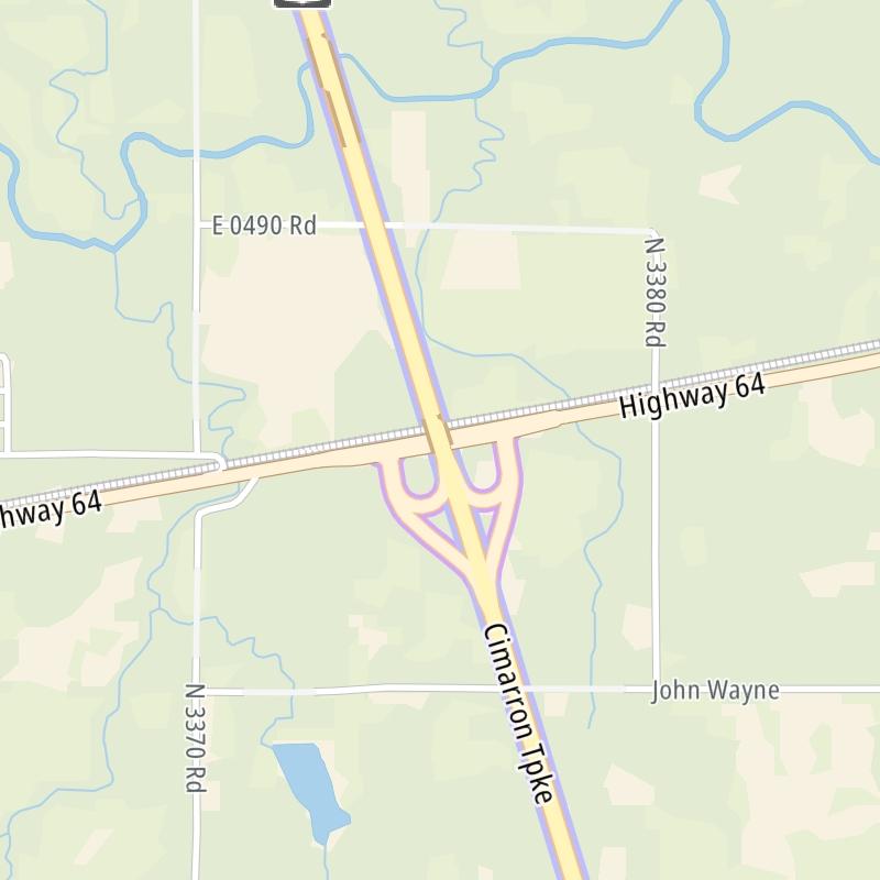
The static map seen here shows a segment of The Cimarron Turnpike at US 64 / Morrison. The entirety of The Cimarron Turnpike can be seen in the fully-interactive map above, which includes linked markers. You may resize and reposition the interactive map to orient the road in relation to other landmarks.
There is also a complete list of exits below.
What Does It Cost To Use The Cimarron Turnpike?
Tolls For Cars, SUVs, Pickups, etc.
▹ Toll as of January 1, 2025.
The total toll for using the Cimarron Turnpike is $3.65, if you are using a compatible transponder, RFID sticker or other pass.
NOTE: The rates shown are the maximum toll incurred. Your trip may have a lower rate.
Transponders You Can Use
For drivers paying with a transponder, the following passes will work on the Cimarron Turnpike

- pikepass
- txtag
- k-tag
- tolltag
- eztag
- sunpass pro
- expresstoll


Learn about transponders and accounts in Oklahoma.
Without a compatible pass or transponder, the toll will be $8.20.
View MapAll Tolls / Calculator ▸
Our new toll and trip calculator is being constructed. For most roads, you can still use the legacy calculator for current, accurate tolls.
 Oklahoma Turnpike Authority
 Cherokee Turnpike ▹
 Creek Turnpike ▹
 Muskogee Turnpike ▹
 Turner Turnpike ▹
 Will Rogers Turnpike ▹
 Gilcrease Expressway West ▹
 H E Bailey Turnpike ▹
 Indian Nation Turnpike ▹
 John Kilpatrick Turnpike ▹
 Kickapoo Turnpike ▹
 Chickasaw Turnpike ▹
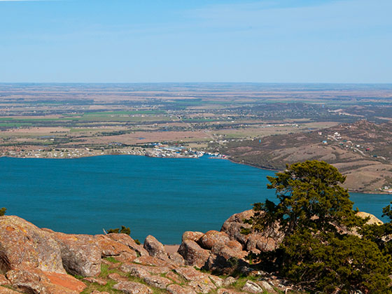
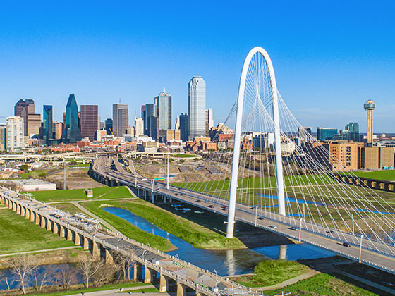
 Addison Airport Toll Tunnel ▹
 Chisholm Trail Parkway ▹
 Dallas North Tollway ▹
 Lewisville Lake Toll Bridge ▹
 Mountain Creek Lake Toll Bridge ▹
 President George Bush Turnpike ▹
 Sam Rayburn Tollway ▹
 360 Tollway ▹
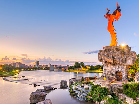
 Kansas Turnpike ▹